|
| *****SWAAG_ID***** | 59 |
| Date Entered | 11/01/2011 |
| Updated on | 16/12/2011 |
| Recorded by | Tim Laurie |
| Category | Burnt Mound |
| Record Type | Archaeology |
| Site Access | Public Access Land |
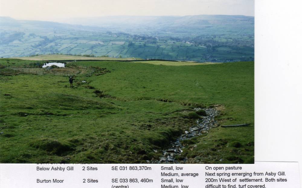
| Location | Burton Moor. Burnt Mound below Ashby Gill, Site 1 |
| Civil Parish | Burton cum Walden |
| Brit. National Grid | SE 0310 8637 |
| Altitude | 370m |
| Geology | At top of wide terrace on bank of stream incutting the escarpment of the Main Limestone |
| Record Name | Burton Moor. Burnt Mound below Ashby Gill, Site 1 |
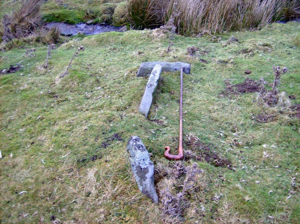
| Record Description | Burnt mound, turf covered. Medium, average*. Next to spring stream emerging from Asby Gill. Evidence of stone lined trough, see photo.
This is the upper of three burnt mounds on this terrace with two further mounds at the spring rise, 450m AOD, above Ash Gill, see SWAAG HER Nos |
| Dimensions | Medium, Average*. |
| Additional Notes | *Indicative Overall Dimensions of burnt mounds:
Size: Small <6m, Medium 6m-9m, Large 10m-15m, Extra large >15m.
Height: Low <0.5m, Average 0.5-1.0m, High >1.0m.
This site is one of a linear group of five burnt mounds which have been recognised on the line of the small stream which rises approximately 250m to the NE of the Settlement on Burton Moor, passing through Ashby Gill. |
| Image 1 ID | 333 Click image to enlarge |
| Image 1 Description | Burnt Mound Below Ashby Gill. Site 1. | 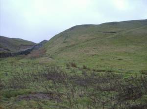 |
| Image 2 ID | 1749 Click image to enlarge |
| Image 2 Description | Burnt mound below Ashby Gill, two further burnt mound in same pasture - one medium, one very large | 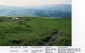 |
| Image 3 ID | 335 Click image to enlarge |
| Image 3 Description | Burnt Mound below Ashby Gill. Stone structure, trough. |  |